View our client success stories
Our Projects
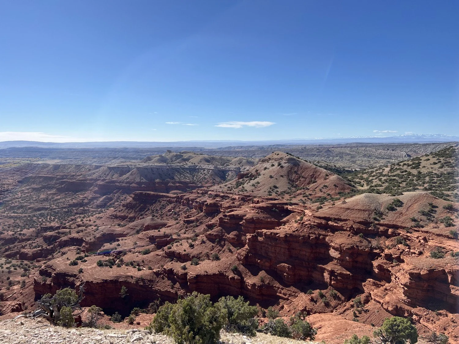
Camp Guernsey North Training Area
Wyoming Military Department, 2023-2024
Near Guernsey, WY
Barron performed a Class III (intensive) pedestrian survey of 2,112 acres in Platte County, Wyoming. The project was conducted to support the Wyoming Military Department’s planning opening of the region to National Guard Training. The survey was in the most cultural dense area of Wyoming: the Hartville Uplift. The Hartville Uplift was a vital prehistoric quarry region as early as the Clovis period, and is defined by a dense, continuous debitage scatter that stretches for hundreds of square miles. Barron identified 27 new sites, 39 previously recorded sites, and six new isolated resources. These were fully evaluated for the NRHP, and included deeply buried Paleoindian sites, large stone circle sites, and major quarry areas. The report was accepted with high praise from the Wyoming Military Dept.
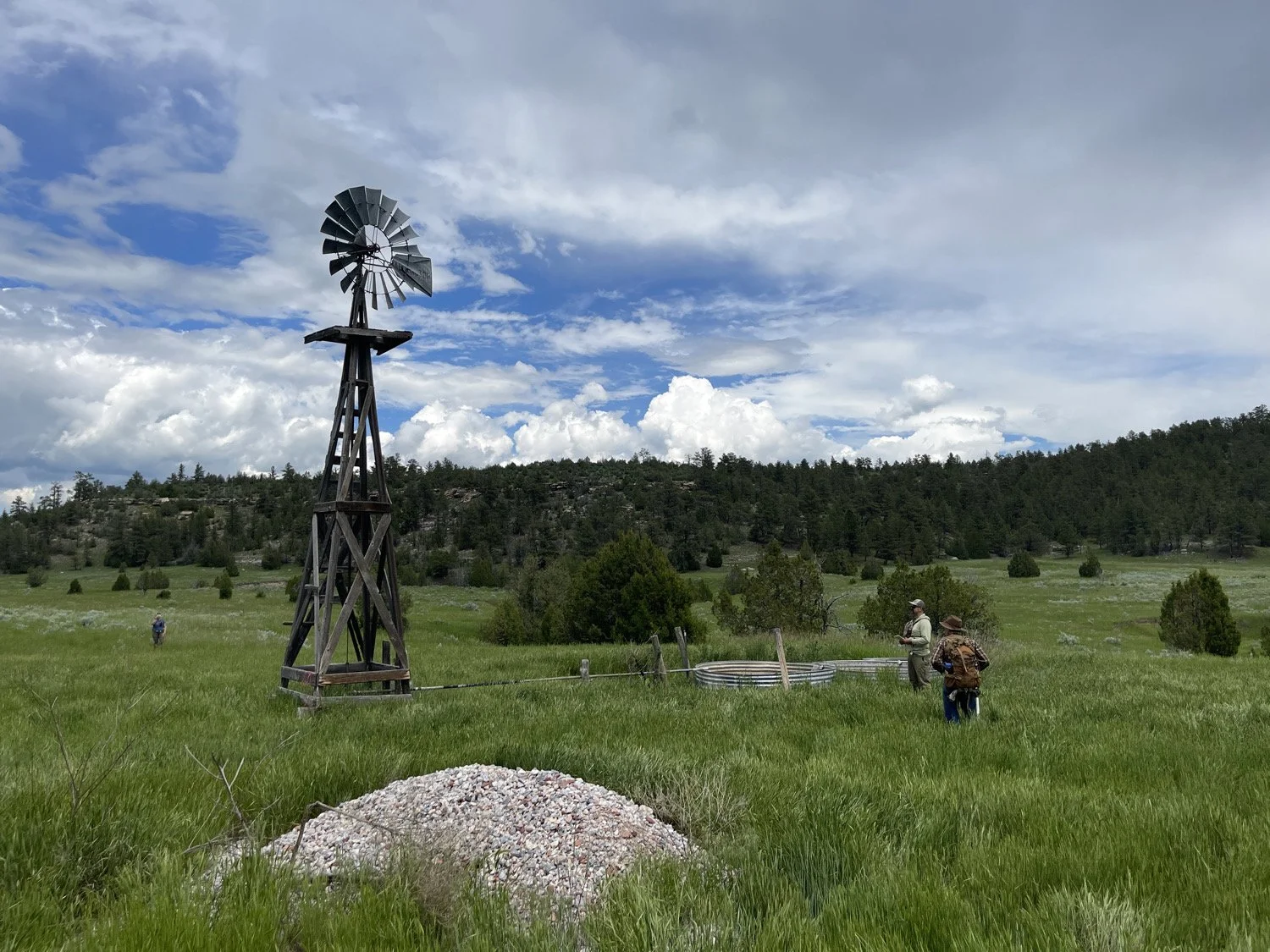
Lower Blackfoot Travel and Transportation
Bureau of Land Management, 2024-2025
Missoula, Montana
Barron performed a Class III (intensive) pedestrian survey of 11,825 acres for the BLM-Missoula Field Office. The project was conducted to support timber management projects and the development of a travel corridor. The survey identified 62 cultural resources, many of which were determined eligible for the National Register of Historic Places. These included segments of the Lewis and Clark Trail, historical logging remains, railroad infrastructure, and large indigenous campsites. The project demonstrates Barron’s ability to complete extremely large cultural resource inventories on time and on budget, while maintaining the highest standards for scientific reporting and regulatory compliance. The project was located in extremely mountainous, isolated terrain and involved extensive safety planning and logistics.
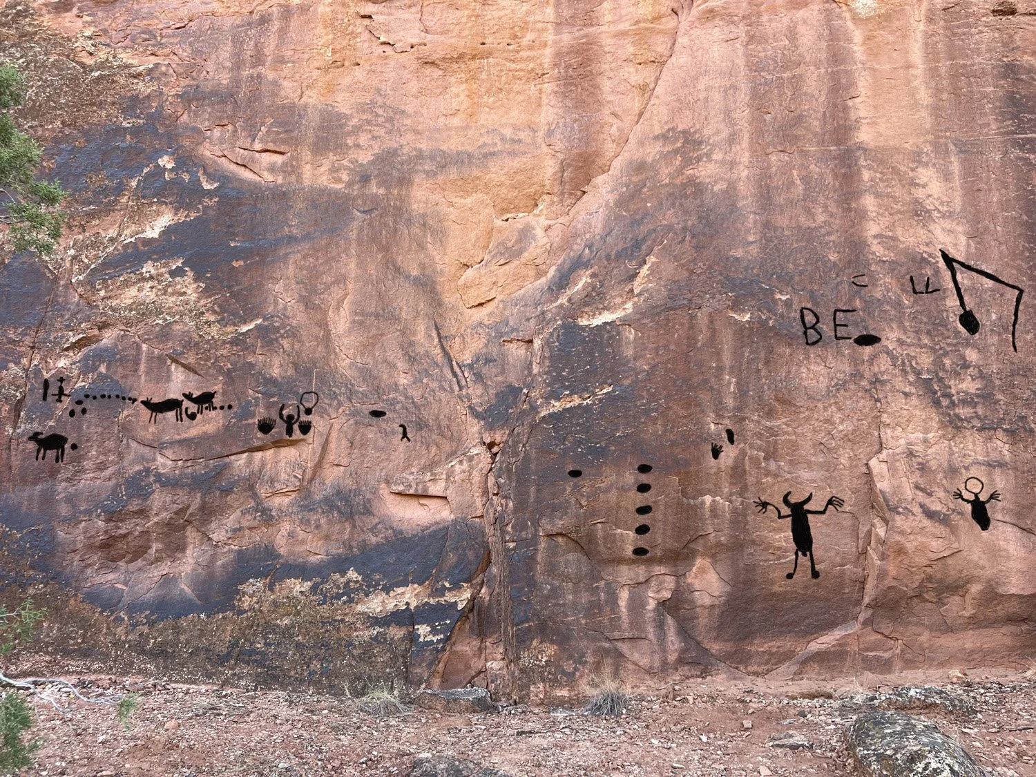
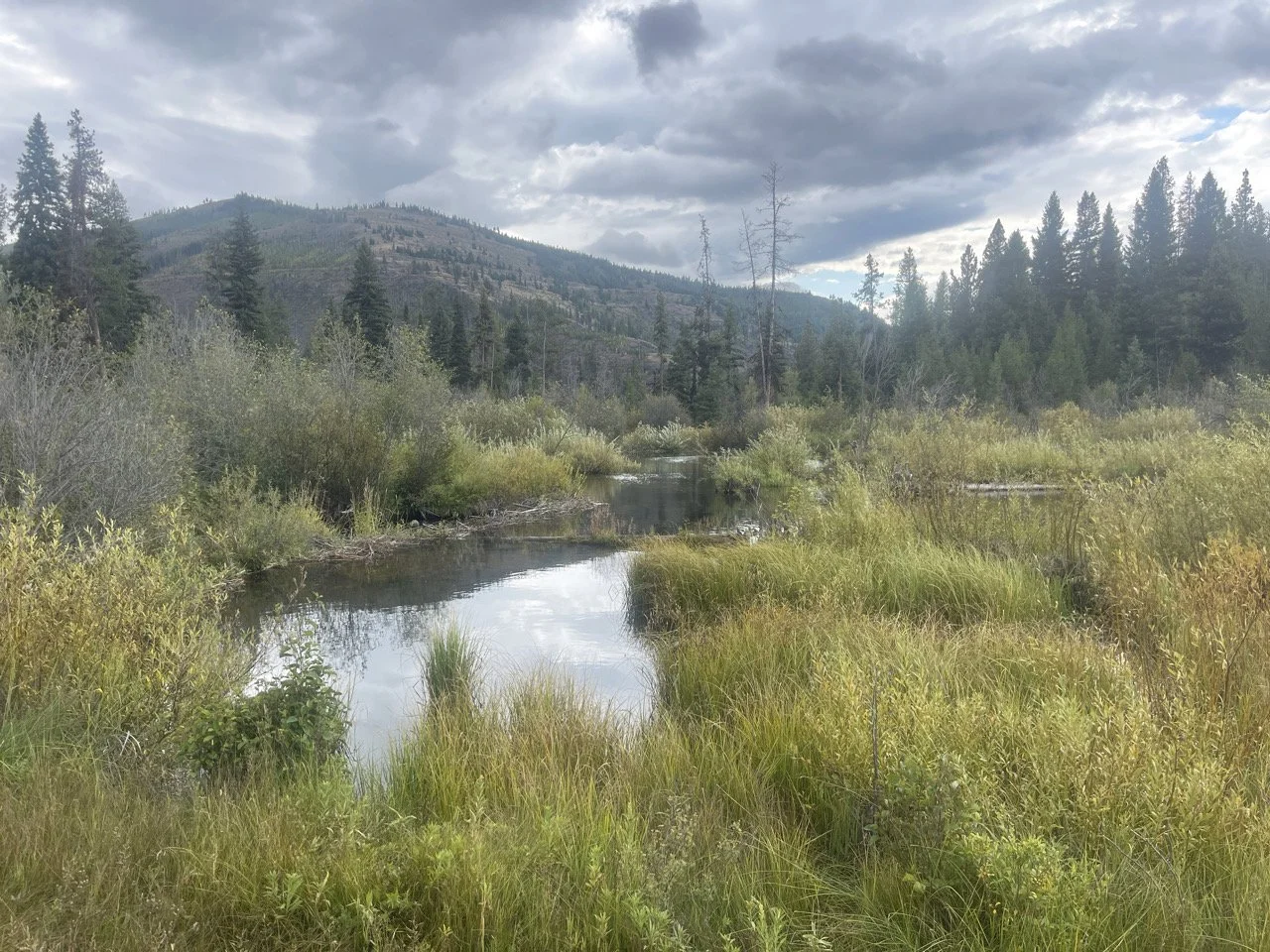
Demijohn Flat Archaeological District
Bureau of Land Management, 2023-2024
Pryor Mountains, Montana
The BLM-Billings Field Office tasked Barron with completing a full inventory/update of Demijohn Flat, a 1,920-acre archaeological district that is listed to the National Register of Historic Places. This included recording and evaluating 101 cultural resources within the district, which involved several months of fieldwork and approximately six months of research and reporting. The resources included large prehistoric stone features sites (more than 300 features in a site), large petroglyph panels, lithic scatters, toolstone quarries, rockshelters, prehistoric hearth features, and uranium mines. Barron re-evaluated the entire district for the National Register, fully fleshing out its archaeological significance and its importance to regional tribes. Our work established the important of Demijohn Flat to the archaeology of the Rocky Mountains and allowed the BLM to update their management strategies.